Grand Lake Boating: Danger Spots and Navigation Aids
Grand Lake O’ The Cherokees is one of the safest inland boating venues anywhere. It is a large and boater-friendly lake, even though it is actually the third largest lake in the State of Oklahoma (behind Lake Eufaula and Lake Texoma).
It boasts 45,000 surface acres of water and 1,300 miles of shoreline along with its 66-mile end-to-end measurement. Unlike other lakes in Oklahoma, Grand Lake is a deep and mostly rock lake. Although areas near the Pensacola Dam are more than 100 feet deep, the average depth is about 36 feet.
Since it is a man-made lake it is fairly simple to gauge the water depth. Just look at the shoreline. The contour below the water is very much like the land at the water’s edge. If the shoreline has a steep embankment, the water is deep right up to the shoreline. If there is a gentle slope along the shoreline, it continues under the water in the same fashion, and water is likely shallow at the shore.
For the most part, all areas of the lake are easily navigable for virtually any vessel. Behind “Governor’s Island” near the southwest edge of Monkey Island, the water is extremely shallow and boating behind that tiny island is not recommended. The same is true of the areas near Patricia Island on the opposite side of Monkey Island toward Sailboat Bridge on the north side of Grove.
As you approach Sailboat Bridge from Monkey Island, pay attention to your depth finder. The old river channel is not where you would think it is. The water is still navigable, but if you get out of the old river channel in that area, you may find yourself in seven or eight feet of water instead of thirty or forty feet.
The Horse Creek area south of Bernice is very shallow along the eastern half of that long finger of water until you get closer to the main lake. The bridge at the town of Bernice is also very low clearance and many boats don’t have adequate bridge clearance to get under it, especially if the water is high.
The main lake areas are all easily navigable and plenty deep until you get north of Grove toward Elk River and the Twin Bridges area where the Spring and Neosho Rivers merge to form Grand Lake. The most popular boating areas of Grand Lake are the main lake areas and the coves between Sailboat Bridge and Honey Creek Bridge, at each end of the City of Grove, and the Pensacola Dam.
If your boat has a GPS system, that’s always a useful tool, especially if you boat at night. Believe me, Grand Lake looks very different at night than it does in the daylight hours. The Grand River Dam Authority has done a fabulous job of putting lighted buoys at dangerous or shallow areas. There are also marker buoys indicated no-wake zones and directional travel requirements (in Duck Creek, Woodard Hollow, and Grays Hollow (Dripping Springs).
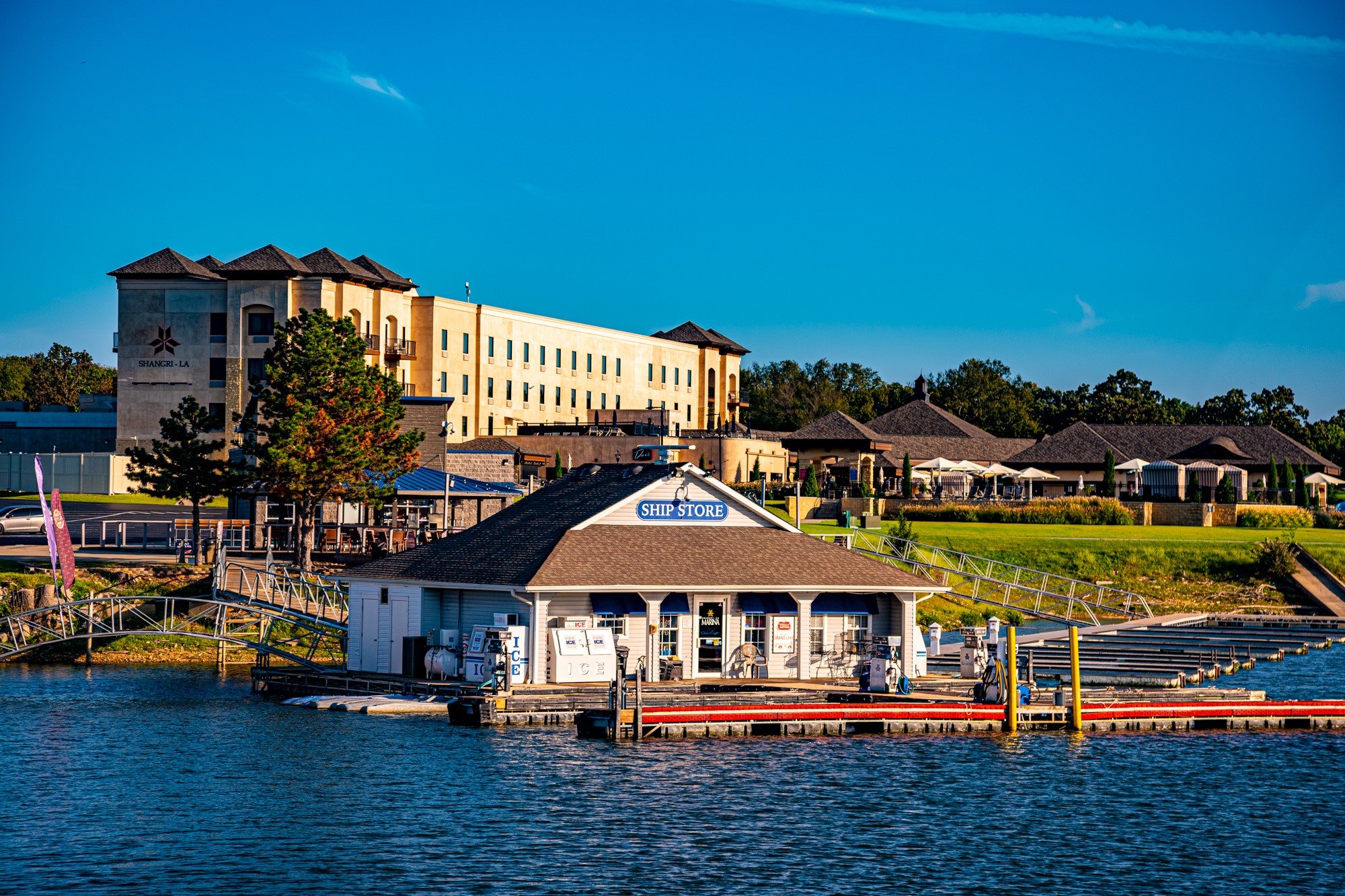
There are several Grand Lake maps available at marina ship stores and visitors’ centers. Some are better than others, of course – but my recommendation is the Grand Lake Chart Book, available at most marina ship stores. Unlike many of the maps, it’s not free, but it is not expensive – and it shows all the water depths at virtually all areas of the lake.
You will enjoy your boating experience on Grand Lake. There is a lot of water to cover, and many fun stops along any route you choose. Always be careful…but have fun. You’ll love Grand Lake!